History
The Hornby Roadside Trail was originally planned and installed by the Hornby Parks Committee in 2002. The parks committee received three separate permits from the Ministry of Transportation and Infrastructure to build and maintain this trail system in 2002, 2003 and 2005. The trails were actively maintained by Hornby residents and committee members until the trail was taken over by the CVRD in 2017. The trail is now maintained by the Hornby Island Residents and Ratepayers Association Parks Committee with oversight by the CVRD. Several upgrades to the trail for safety and drainage are planned for 2018.
Information
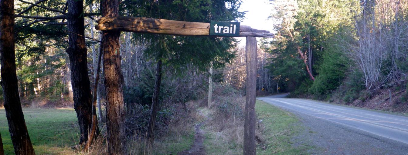
In 2017, the Hornby Roadside Trail system was adopted into the Comox Valley Regional District (CVRD) parks system. This nine km trail allows Hornby residents and tourists to travel between island features such as the Community Hall, the Hornby Island Co-op, Mt. Geoffrey Regional Park, Tribune Bay Provincial Park and Helliwell Provincial Park. The trail topping is a mix of soil and gravel, good for cycling, walking and horseback riding.
Location
The trail starts across from Lea Smith Road, runs along the North side of Central Road until the road crossing just south of Sollans Road. The trail crosses the road at the Hornby Island Co-op and heads north, running along the east side of St. Johns Point Road and flanking Tribune Bay Provincial Park. The trail terminates approximately 1.5 km from the entrance to Helliwell Provincial Park.
Park Etiquette
- Multi-use
- Leashing is optional